Inviting
2020 Goal: Real-time water quality information
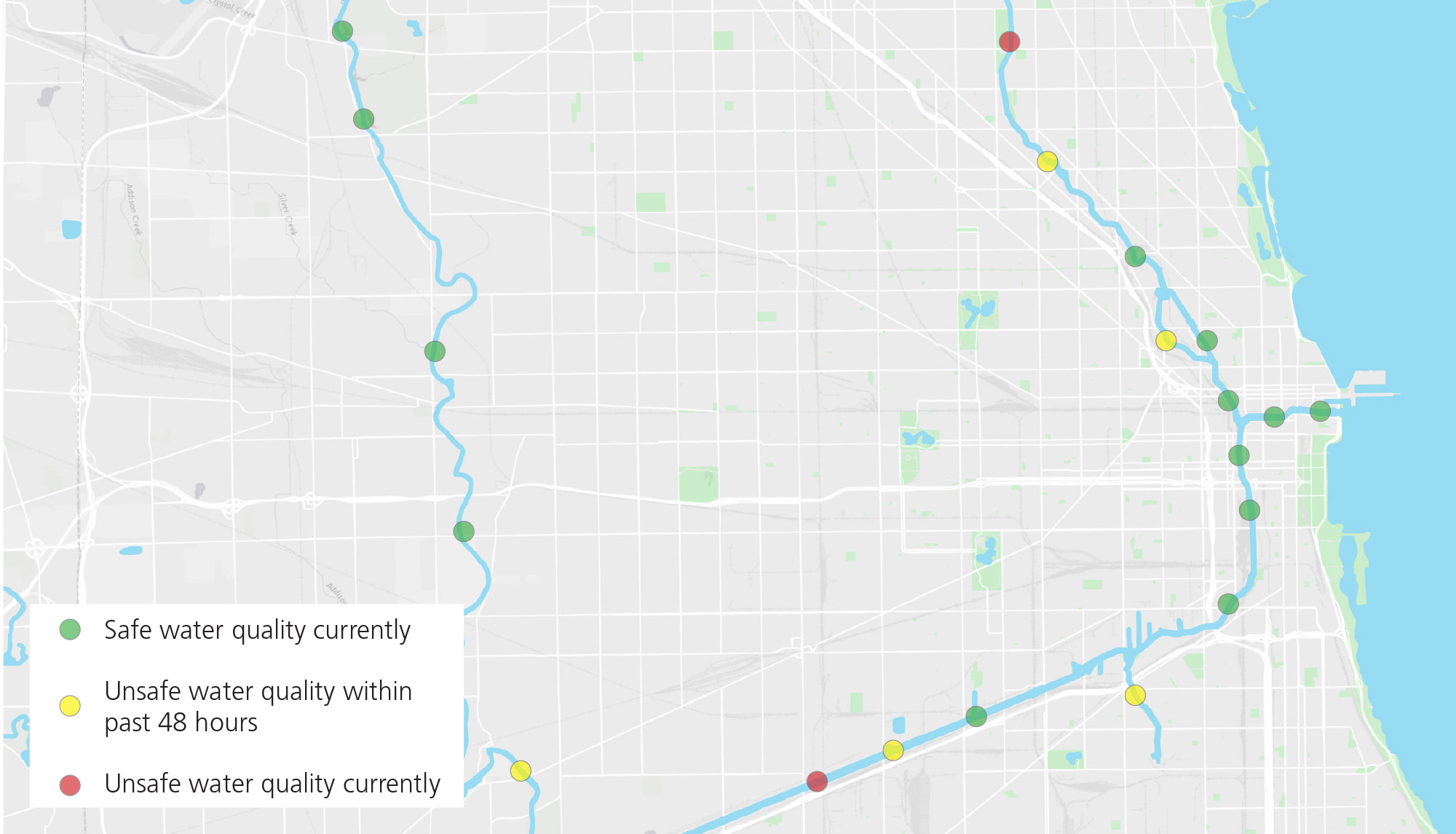
An easy-to-read map, like this mock-up, could be one way of sharing real-time water quality information.
While water quality in Chicago’s rivers continues to improve, like many old cities, fully eliminating combined sewer overflows will take time.
“People assume the rivers are always in bad shape. They should know the water is actually okay on most days, but unsafe after heavy rain.”
—Focus group participant
Real-time water quality monitoring will be deployed across all three rivers, with sensors in the water to track specific pollutants throughout a 24-hour period. This information on water quality should be widely available, including through smart phone applications, social media platforms, weather reports and mounted digital screens at key riverfront locations. Putting information about heavy rains and location-specific combined sewer overflows in the hands of people will enable them to plan which days they should head to the river to paddle, fish and volunteer, and when they should not. Making this information readily available also will call attention to the ongoing need to invest in improving water quality across all three rivers.
Making it happen
- Develop a system of data-collection nodes that samples, analyzes and reports real-time water quality across a range of media.
- Provide water quality information at boat launches, boathouses and other river access points, similar to the flag system used at Chicago’s lakefront beaches.
Key players
MWRD, Chicago Dept. of Water Management, Friends of the Chicago River, Ill. Environmental Protection Agency, U.S. Army Corps of Engineers
Our rivers, our role
Sign up for and share information from Friends of the Chicago River’s Overflow Action Alerts, as well as MWRD’s combined sewer overflow notifications.
Back to goals